Difference between revisions of "Template:Kentucky NNLs map"
Jump to navigation
Jump to search
imported>Sphilbrick (start) |
imported>Sphilbrick (positions) |
||
| (4 intermediate revisions by the same user not shown) | |||
| Line 4: | Line 4: | ||
-- (see NOTES below) | -- (see NOTES below) | ||
--><div style="float: right; clear: right; margin-left: 0.4em; margin-right: 0.05em"> | --><div style="float: right; clear: right; margin-left: 0.4em; margin-right: 0.05em"> | ||
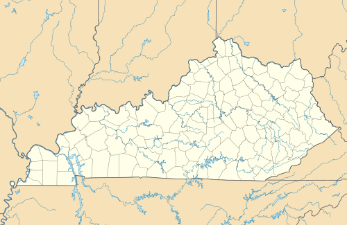
| − | {{Location map+|Kentucky|width= | + | {{Location map+|Kentucky|width=450|float=center|caption=Kentucky National Natural Landmarks (clickable map)|places= |
{{Location map~|Kentucky|mark=purple pog.svg|label_size=70 |lat_dir=N |lon_dir=W|lat_deg=38.88694444|lon_deg=84.74777778|position=bottom|label=[[Big Bone Lick State Park|Big Bone Lick]]}} | {{Location map~|Kentucky|mark=purple pog.svg|label_size=70 |lat_dir=N |lon_dir=W|lat_deg=38.88694444|lon_deg=84.74777778|position=bottom|label=[[Big Bone Lick State Park|Big Bone Lick]]}} | ||
| − | {{Location map~|Kentucky|mark=purple pog.svg|label_size=70 |lat_dir=N |lon_dir=W|lat_deg=36.88499167|lon_deg=85.236425|position= | + | {{Location map~|Kentucky|mark=purple pog.svg|label_size=70 |lat_dir=N |lon_dir=W|lat_deg=36.88499167|lon_deg=85.236425|position=top|label=[[Creelsboro Natural Bridge|Creelsboro Natural Bridge]]}} |
{{Location map~|Kentucky|mark=purple pog.svg|label_size=70 |lat_dir=N |lon_dir=W|lat_deg=37.28805556|lon_deg=83.87527778|position=bottom|label=[[Daniel Boone National Forest|Rock Creek Research Natural Area]]}} | {{Location map~|Kentucky|mark=purple pog.svg|label_size=70 |lat_dir=N |lon_dir=W|lat_deg=37.28805556|lon_deg=83.87527778|position=bottom|label=[[Daniel Boone National Forest|Rock Creek Research Natural Area]]}} | ||
| − | {{Location map~|Kentucky|mark=purple pog.svg|label_size=70 |lat_dir=N |lon_dir=W|lat_deg=38.27665|lon_deg=85.76544|position= | + | {{Location map~|Kentucky|mark=purple pog.svg|label_size=70 |lat_dir=N |lon_dir=W|lat_deg=38.27665|lon_deg=85.76544|position=right|label=[[Falls of the Ohio National Wildlife Conservation Area|Ohio Coral Reef]]}} |
{{Location map~|Kentucky|mark=purple pog.svg|label_size=70 |lat_dir=N |lon_dir=W|lat_deg=37.83388889|lon_deg=83.60777778|position=bottom|label=[[Red River Gorge|Red River Gorge]]}} | {{Location map~|Kentucky|mark=purple pog.svg|label_size=70 |lat_dir=N |lon_dir=W|lat_deg=37.83388889|lon_deg=83.60777778|position=bottom|label=[[Red River Gorge|Red River Gorge]]}} | ||
| + | {{Location map~|Kentucky|mark=purple pog.svg|label_size=70 |lat_dir=N |lon_dir=W|lat_deg=37.860445|lon_deg=87.780100|position=bottom|label=[[Henderson Sloughs|Henderson Sloughs]]}} | ||
| + | {{Location map~|Kentucky|mark=purple pog.svg|label_size=70 |lat_dir=N |lon_dir=W|lat_deg=37.087865|lon_deg=82.992453|position=top|label=[[Lilley Cornett Woods|Lilley Cornett Woods]]}} | ||
}} | }} | ||
