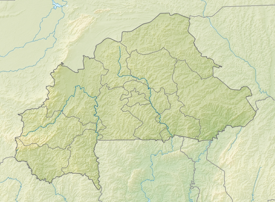
File:Burkina Faso relief location map.jpg
Jump to navigation
Jump to search


Size of this preview: 800 × 589 pixels. Other resolutions: 320 × 236 pixels | 640 × 471 pixels | 900 × 663 pixels.
Original file (900 × 663 pixels, file size: 527 KB, MIME type: image/jpeg)
File history
Click on a date/time to view the file as it appeared at that time.
| Date/Time | Thumbnail | Dimensions | User | Comment | |
|---|---|---|---|---|---|
| current | 11:30, 24 April 2010 |  | 900 × 663 (527 KB) | Uwe Dedering | {{Information |Description={{en|1=English: Location map of Burkina Faso Equirectangular projection. Strechted by 102%. Geographic limits of the map: * N: 15.5° N * S: 9° N * W: 6° W * E: 3° E Made with Natural Earth. Free vector and rast |
File usage
The following 2 pages use this file:

