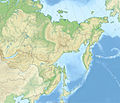
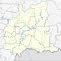
File:Relief Map of Northwestern Federal District.jpg
Jump to navigation
Jump to search


Size of this preview: 482 × 600 pixels. Other resolutions: 193 × 240 pixels | 386 × 480 pixels | 617 × 768 pixels | 1,200 × 1,493 pixels.
Original file (1,200 × 1,493 pixels, file size: 392 KB, MIME type: image/jpeg)
File history
Click on a date/time to view the file as it appeared at that time.
| Date/Time | Thumbnail | Dimensions | User | Comment | |
|---|---|---|---|---|---|
| current | 18:16, 17 October 2010 |  | 1,200 × 1,493 (392 KB) | Виктор В | == {{int:filedesc}} == {{Information |Description={{ru|1=Физическая карта Северо-Западного федерального округа * Проекция — коническая равнопромежуточная. ** перва� |
File usage
The following 2 pages use this file:


